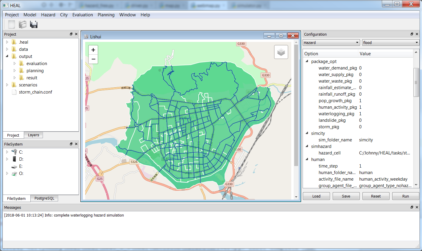
HazardCM is an innovative analytical framework for calculating the dynamic risk of urban multi-hazards. By integrating the Urban Environment Module, the Agent-based Population Simulation (ABM) Module, the Multi-Hazards Coupled Module, and the Dynamic Risk Assessment Module, HazardCM forms a comprehensive analytical framework capable of simulating and analyzing the dynamic changes of human activities in cities under multi-hazards. The framework focuses not only on the hazards themselves, but also on the interaction between human behavior and urban infrastructure. In particular, the urban environment module provides a spatial representation of urban elements (e.g., buildings and roads). The agent-based model captures spatial and temporal changes in population distribution. The multi-hazard coupling module effectively links the hazard elements to the urban system. The dynamic risk assessment module quantifies the potential impact of urban multi-hazards by combining the processes of hazards and daily human activities. HazardCM breaks the limitations of traditional models that treat exposed elements as static and allows for in-depth analysis of the spatial and temporal characteristics of hazard risks. It provides policy makers and urban planners with a scientific basis for understanding the dynamic characteristics of urban multi-hazards and developing hazard risk management strategies. In the future, HazardCM will be extended to more hazard types and integrated multi-hazard simulations to contribute to the scientific development of hazard risk management in different cities around the world.

Main form
The MDEG model, which describes the uncertainty of radar rainfall, can comprehensively calculate the systematic error, local error, random error, spatial and temporal dependence between errors. It can realize the evaluation of radar rainfall uncertainty in the trans-regional and long-term periods. By establishing the relationship between the parameter structure and the radar echo signals, meteorological factors, terrain factors, etc., the interpretability of the model output results is improved. In addition, the model can be used to automatically adjust the parameters for different geographical application scenarios, which improves the spatial and temporal representation of rainfall in hydrological models. The MDEG model has been coupled with basin hydrological models such as Xin'anjiang and SHETRAN, hydraulic erosion models such as RUSLE and WEPP, and landslide hazard models such as TRIGRS and LHASA. The comprehensive, interpretable and adaptive nature of the MDEG model has enabled the realization of radar rainfall driven land surface hydrological process uncertainty in several basins in China, the UK and Italy.
If you are interested in our model, please contact us by email. Email: [email protected]